The wars of 1735–9, 1768–74 and 1787–92
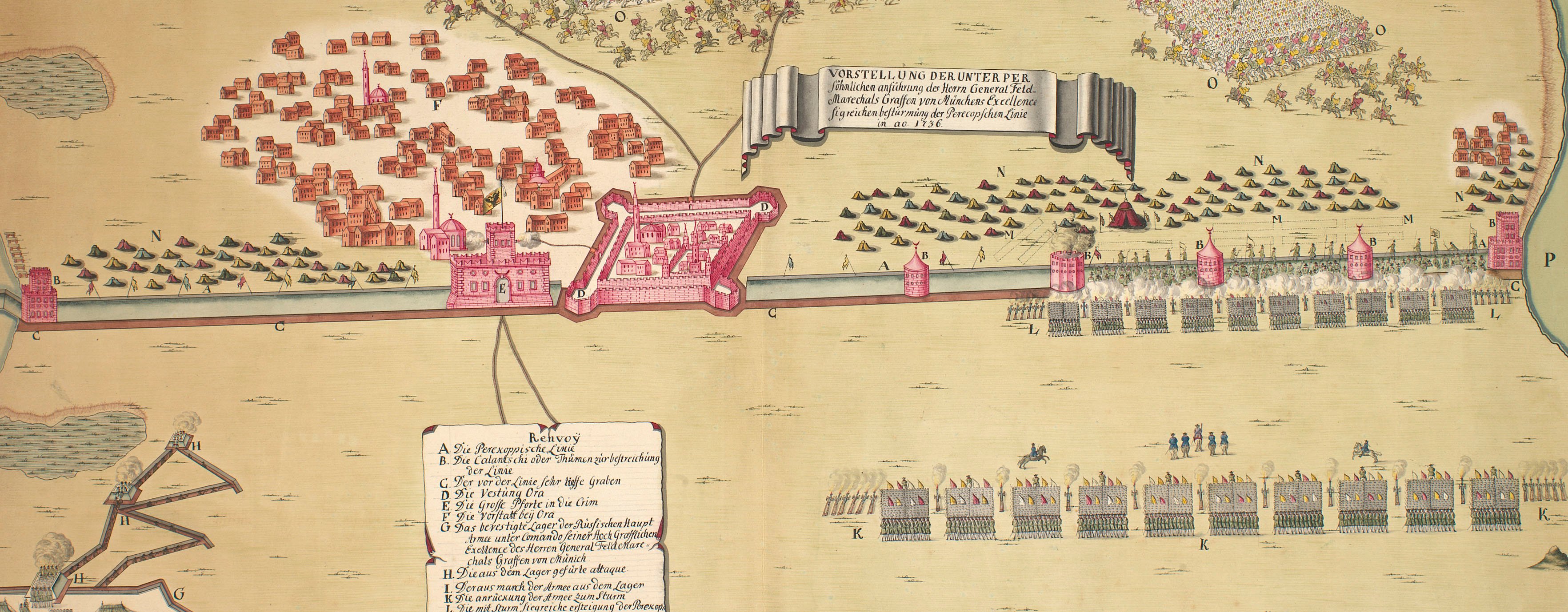
Map of Little Tartary and Crimea, 1736
1737 or laterEngraving and some etching; printed from two copperplates on two sheets of paper, then joined | Scale: 1:1,400,000 approx. | RCIN 728006
Although this carries the statement that it was copied from the original Russian maps of the area, it bears a greater resemblance to RCIN 728005, which, though it may be of Russian origin, deviates considerably from the topographical outlines of the Russian map at RCIN 728001.a. Either Senex has made a straightforward plagiarisation of the map at RCIN 728005, or that map is copied from Senex's.
Condition: four fold lines; trimmed. Verso: left, water-stained patch from the removal of Cumberland's cipher label; only half of the residual ‘ghost’ image of this label remains, indicating that the map was trimmed after it had been in Cumberland's collection, possibly during the arrangement of items in George III's collection.
Senex: the Globe, Fleet street, London (John Senex (bap. 24 November 1678-30 December 1740)) (mapseller) [bottom right, below title, in title cartouche:] Sold by John Senex at the Globe over against S.t Dunstans Church in Fleetstreet
Subject(s)
Army-TurkeyArmy-RussiaWatermark: None
Condition: four fold lines; trimmed. Verso: left, water-stained patch from the removal of Cumberland's cipher label; only half of the residual ‘ghost’ image of this label remains, indicating that the map was trimmed after it had been in Cumberland's collection, possibly during the arrangement of items in George III's collection
Scale: 1:1,400,000 approx. Scale bars: English computed Miles [68 mm = 60]; Russian Wersts [66 mm = 120].
55.2 x 71.5 cm (neatline)
56.9 x 73.3 cm (image of whole map)
57.6 x 73.9 cm (sheet)
56.9 x 37.0 cm (image of left plate)
56.9 x 36.3 cm (image of right plate; no platemarks)
Printed title:
A New Map of the / SEAT of WAR between ye / TURK and ye MOSCOVIT / on the Donn, ye Nieper, ye Niester &c / in CRIM TARTARY &c / Coppied from the Original Engraved at Petersburg in 1737 / said to be Done from General Munich's memoirs. [bottom right, in rococo cartouche which is an adapted design, in reverse, of the cartouche on RCIN 728005]
Annotations:
George III heading: Little Tartary 1736.
Other annotations: none.
George III catalogue entry:
Tartary, Little Map of the Seat of War between the Turks and Moscovites on the Donn, Nieper and Niester in Crim Tartary &.c 1736: copied from the original engraved at Petersburg in 1737 by John Senex. [2 sheets.]
Subject(s)
Crimea
Page revisions
3 November 2024
Current version


