War of the Polish Succession (1733-8)
The Rhine and Moselle rivers and parts of Italy
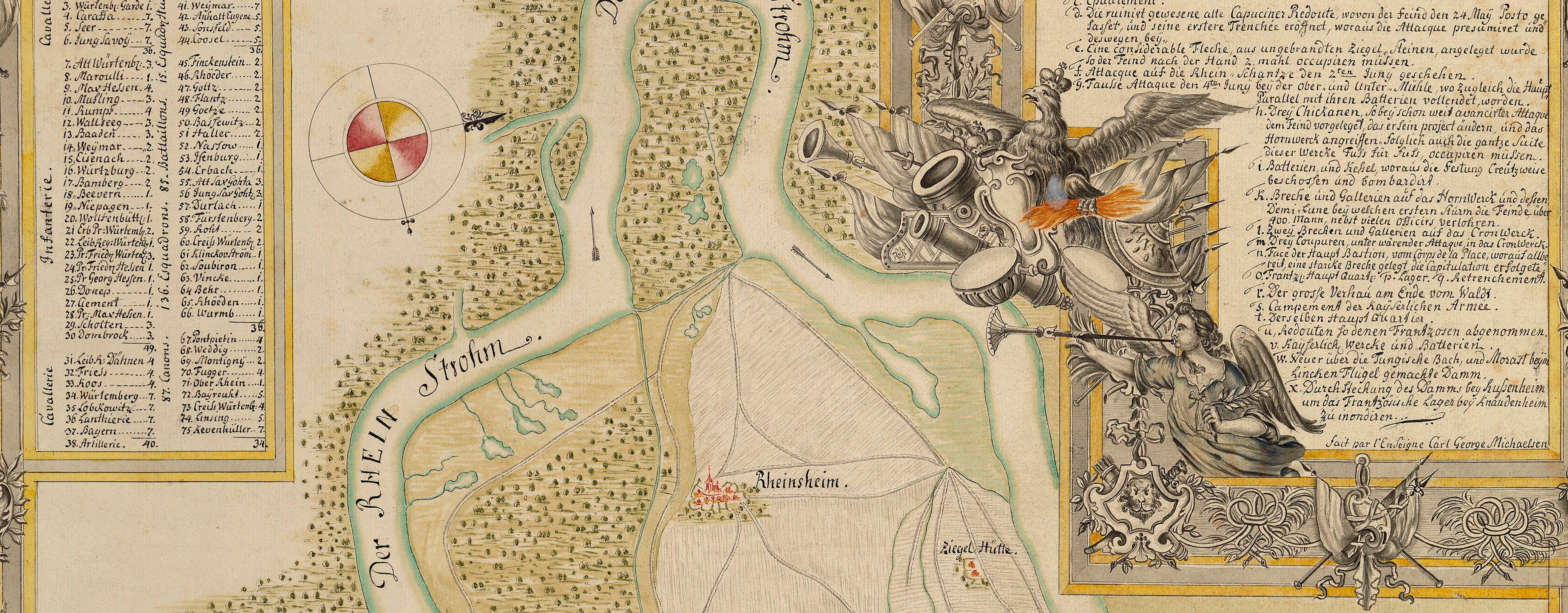
Map of the siege of Philippsburg, 1734 (Philippsburg, Baden-Württemberg, Germany) 49°13ʹ54ʺN 08°27ʹ39ʺE; (Heilbronn, Baden-Württemberg, Germany) 49°08ʹ23ʺN 09°13ʹ13ʺE; (Lauffen am Neckar, Baden-Württemberg, Germany) 49°0
1734 or laterEtching and engraving; printed on paper | Scale: 1:81,800 approx. | RCIN 727051
The order of battle gives the names of the General Officers, through the ranks of General Feld Marschal to Brigadier [the latter rank is not specified, but individuals are named.] Regiments are named. The First Line comprises 72 squadrons and 41 battalions; the Second Line comprises 58 squadrons and 33 battalions.
Insets: [top left:] PLAN von der A.o 1734. umb Philippsburg von Sand aufgeworffenen Französ. Circumvallations Linie nebst der Avant Fosse / und Gruben, wie solche von dem Französ. Hapt Quartier Oberhausen, bis an den Wald auf unsern lincken Flügel, allwo / der Brussel-Bach in die Linie flosse, befunden worden, und der Graben meistens Wasser hatte. Scale: 1:8,257 approx. Scale bar: Echelle pour le Profil de 600 Pas [59 mm =]. Size: 16.0 x 23.3 cm (neatline).
[Bottom left:] Ordre de Bataille / [under the command of] Ihro Hochfürstl. Durchleüchte Printz Eugene v. Savojen Ihro Röm. Kayl. Maj. General Lieut. und des H.R.R.G.F.M. Size: 36.2 x 23.3 cm (neatline).
[Bottom right:] TOPOGRAPHISCHE / VORSTELLUNG / von der Situation zwischen / Hailbronn, Lauffen, und / Neckars-Ulm, mit der dar / auf campirenden Kayserl / und Reichs-Armée. / den 16. Junü. A.o 1734. Scale: 1:58,878 approx. Scale bar: Scala von 2. Stundten. [164 mm =]. Size: 26.8 x 23.5 cm (neatline).
Additional text: [top right, in rococo cartouche, a short history of Philippsburg and its sieges. Text begins:] Nota: / Philippsburg hiess vor diesem Uden- / heim, ….
Condition: three fold lines; some foxing. Verso: remains of a guard.
Homann's Heirs (1724-1848) (cartographer and publisher) [top, following on from titles:] ans Tagsliecht / gegeben von Homänn. Erben. Cum Priv. // mis au jour par les Heritiers de feu Mons. le Doct. Homann. / Avec Privilege.
Subject(s)
Army-FranceArmy-AustriaWatermark: None
Condition: three fold lines; some foxing. Verso: remains of a guard
Scale: 1:81,800 approx. Scale bar: Scala von 2 Stundten. [118 mm = 2].
28.2 x 23.8 cm (image of top map)
55.3 x 47.7 cm (image of whole object)
57.7 x 48.7 cm [platemark; cropped at left edge]
64.6 x 50.3 cm (sheet)
Printed title:
PLAN von der Gegend PHILIPPSBURG, samt der Belagerung / desselben, welche vom 23.ten May bis den 18. Jul. sich geendigt... // Les Environs & le Siege de PHILISBOURG, pris le 18. Julü. 1734. [top of main map, in two rectangular panels, in German and French]
Insets:
[top left:] PLAN von der A.o 1734. umb Philippsburg von Sand aufgeworffenen Französ. Circumvallations Linie nebst der Avant Fosse / und Gruben, wie solche von dem Französ. Hapt Quartier Oberhausen, bis an den Wald auf unsern lincken Flügel, allwo / der Brussel-Bach in die Linie flosse, befunden worden, und der Graben meistens Wasser hatte. Scale: 1:8,257 approx. Scale bar: Echelle pour le Profil de 600 Pas [59 mm =]. Size: 16.0 x 23.3 cm (neatline).
[Bottom left:] Ordre de Bataille / [under the command of] Ihro Hochfürstl. Durchleüchte Printz Eugene v. Savojen Ihro Röm. Kayl. Maj. General Lieut. und des H.R.R.G.F.M. Size: 36.2 x 23.3 cm (neatline).
[Bottom right:] TOPOGRAPHISCHE / VORSTELLUNG / von der Situation zwischen / Hailbronn, Lauffen, und / Neckars-Ulm, mit der dar / auf campirenden Kayserl / und Reichs-Armée. / den 16. Junü. A.o 1734. Scale: 1:58,878 approx. Scale bar: Scala von 2. Stundten. [164 mm =]. Size: 26.8 x 23.5 cm (neatline).Additional text:
[Text begins:] Nota: / Philippsburg hiess vor diesem Uden- / heim, …. [top right, in rococo cartouche, a short history of Philippsburg and its sieges.]
Annotations:
George III heading: Siege of Philipsbourg, Encampment and Order of Battle in 1734.
Other annotations: (Recto) none. (Verso) [centre left, red pencil:] 6/53.
George III catalogue entry:
Philipsbourg A Plan of the Environs and Siege of Philipsbourg taken by the French the 18.th of July 1734 Plan and Section of the French Line of Circumvallation at Philipsbourg in 1734. Plan of the Encampment of the Imperialists near Hailbronn the 16.th of June 1734. Order of Battle of the Imperial Army under Prince Eugene: published by the Heirs of Homann. [The same entry appears under the headings Encampment and Order of Battle.]
Subject(s)
Philippsburg, Baden-Württemberg, Germany (49°13ʹ54ʺN 08°27ʹ39ʺE)
Heilbronn, Baden-Württemberg, Germany (49°08ʹ23ʺN 09°13ʹ13ʺE)
Lauffen am Neckar, Baden-Württemberg, Germany (49°04ʹ24ʺN 09°08ʹ44ʺE)


